10 September 2024
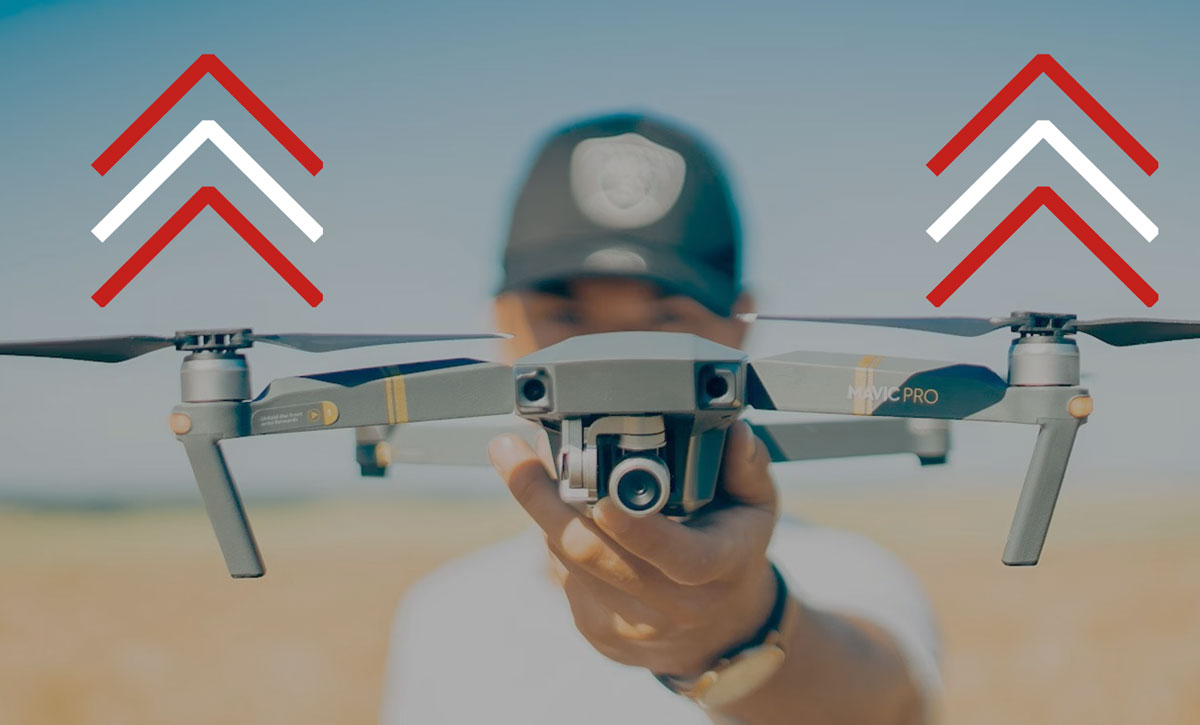
Precision from above, assurance on the ground: using drone technology in crop insurance
The Drone Project, developed by Generali Bulgaria and co-financed by the Generali Innovation Fund, utilises advanced drones to quickly assess damage with high-resolution imagery and data collection, allowing for more accurate and efficient claims processing in crop insurance
Agricultural activities have always been influenced by natural and climatic conditions. However, the recent rapid emergence of abnormal climate patterns is expected to bring new challenges to crop productivity and the stability of supply and demand.
Global climate change can significantly impact agricultural production worldwide, affecting food security beyond just changes in crop prices and social welfare. Therefore, rigorous pest controls and accurate damage predictions are essential.
By leveraging drone technology, the Drone Project - an innovative solution developed by Generali Bulgaria and co-financed by the Generali Innovation Fund - aims to enhance the accuracy, efficiency, and cost-effectiveness of crop insurance assessments, ensuring better service for clients.
What is the Drone project?
To strategically enhance the underwriting and claims adjustment processes, two drones were acquired in 2020. One drone is equipped with a multispectral camera, while the other features a high-resolution RGB camera. Additionally, a specialised software and a computer were also acquired to enable the creation of orthophoto maps and index maps, such as NDVI (normalised difference vegetation index), NDRE (normalised difference red edge index), SAVI (soil-adjusted vegetation index), and others.
Since then, 156 missions have successfully been completed, accumulating a total flight time of 71 hours and 39 minutes, and covering a flight distance of 1,873,626 meters. These statistics highlight the remarkable efficiency and effectiveness of drone technology.
How can drones enhance claims adjustment?
The use of drones has revolutionised the approach of Generali to claims adjustment. When an insurance claim comes in, the process unfolds as follows:
- upon receiving a claim notification necessitating drone use, a team visits the affected agricultural fields and plans the drone mission. The drone is then deployed to capture comprehensive images of the damaged area;
- these images, often numbering in the thousands, are processed using the software to create detailed orthophotos and index maps. The maps precisely outline the damaged sections of the insured property;
- the results are then presented to the clients, offering them a clear and accurate assessment of the damage.
This method not only ensures precision but also enhances transparency and client satisfaction.
How drones assist in underwriting
Before issuing insurance policies, drones play a crucial role in field inspections. They enable Generali to thoroughly survey all relevant areas of the agricultural fields, ensuring that they meet its insurance criteria. This comprehensive evaluation helps the Group mitigate risks and provide tailored insurance solutions.
The Drone Project is more than a technological upgrade that enabled Generali to dramatically improve its operational efficiency and accuracy in damage assessment. It is a testament to dedication of the Group to innovation and leveraging cutting-edge solutions for better service delivery – which is further demonstrated by the fact that the Group Generali is the only insurer in Bulgaria utilising this advanced method for claims assessment, in line with its commitment to continue to embrace technological advancements and innovative solutions.